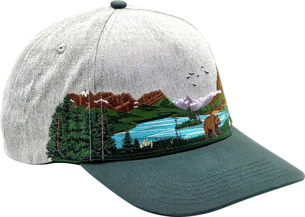
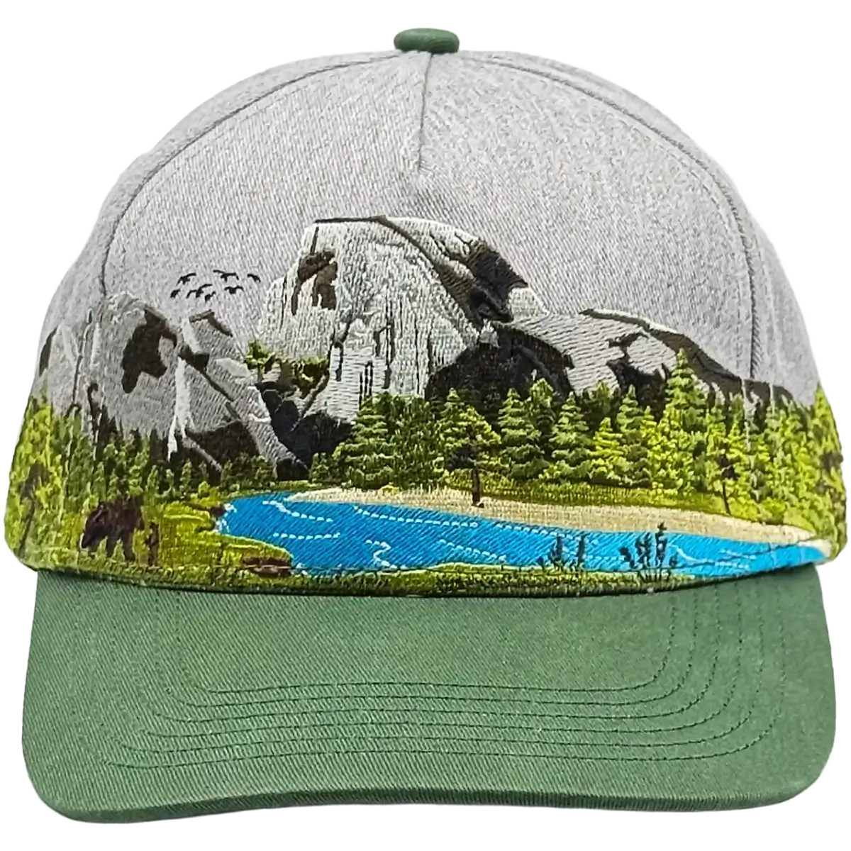
Great Smoky MountainsNational Park Hat

Details
- Embroidered panoramic design
- Adjustable snapback hat
- Structured mid-profile 5 panel
- Cotton, handwash
- Free shipping, free returns
- 100% of profits donated to National Parks
What Our Customers Say
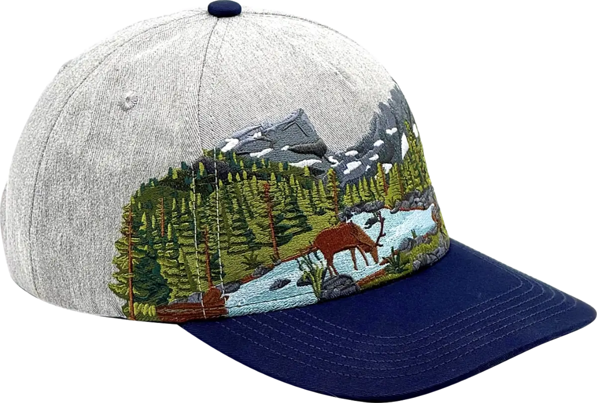
More National Parks


Our Mission
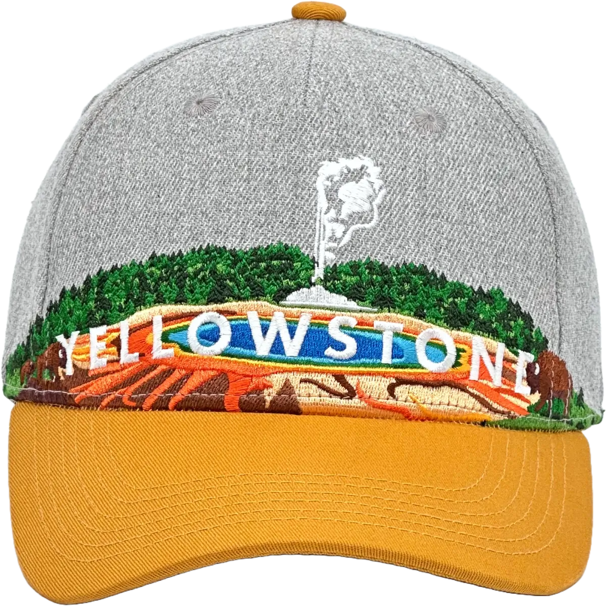
I'm Ian - from Seattle, and at Rainier Hat Co. we're dedicated to giving back to the places that inspire us every day. From the glaciers of Mount Rainier to the grand prismatic springs of Yellowstone, our national parks are treasures that deserve our support.
That's why we've made a commitment that goes beyond the norm: donating all our profits to these natural sanctuaries. It's not just about creating high-quality (and awesome) hats inspired by the beauty of the outdoors, it's about contributing to the preservation of these areas for future generations to enjoy.
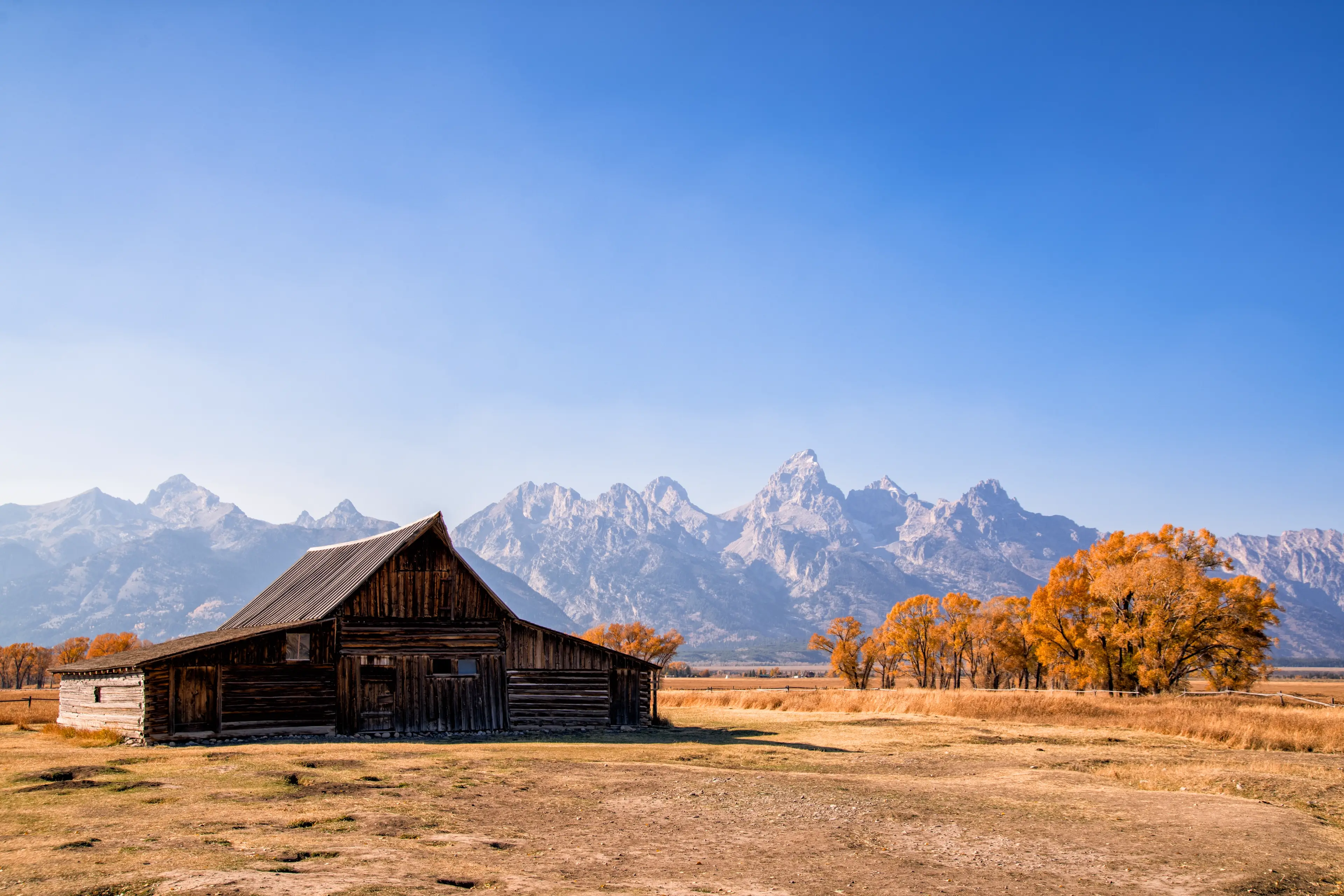
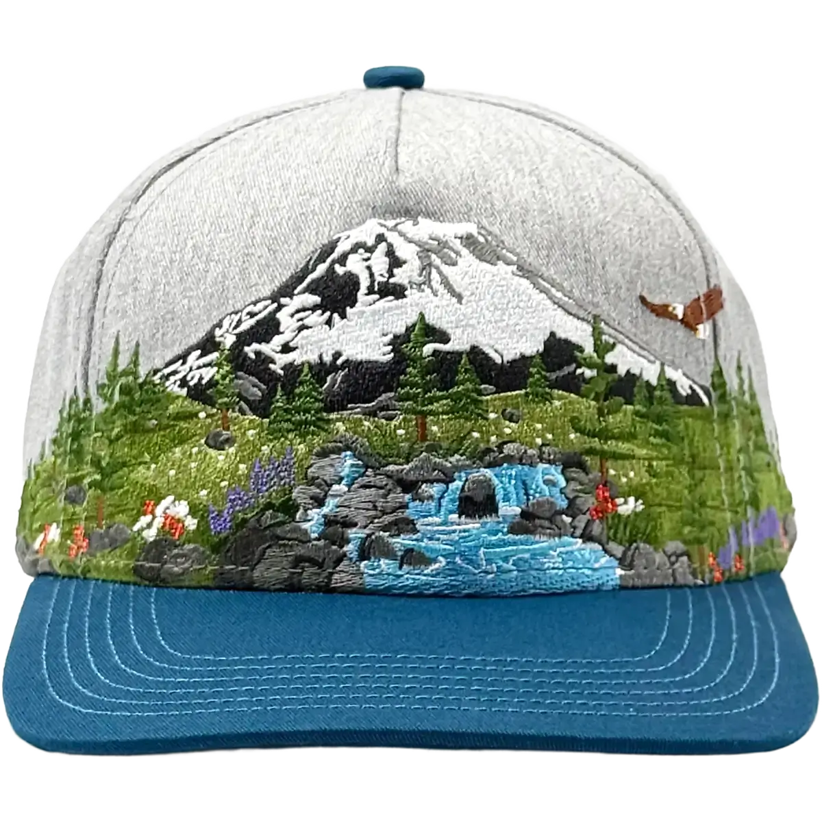
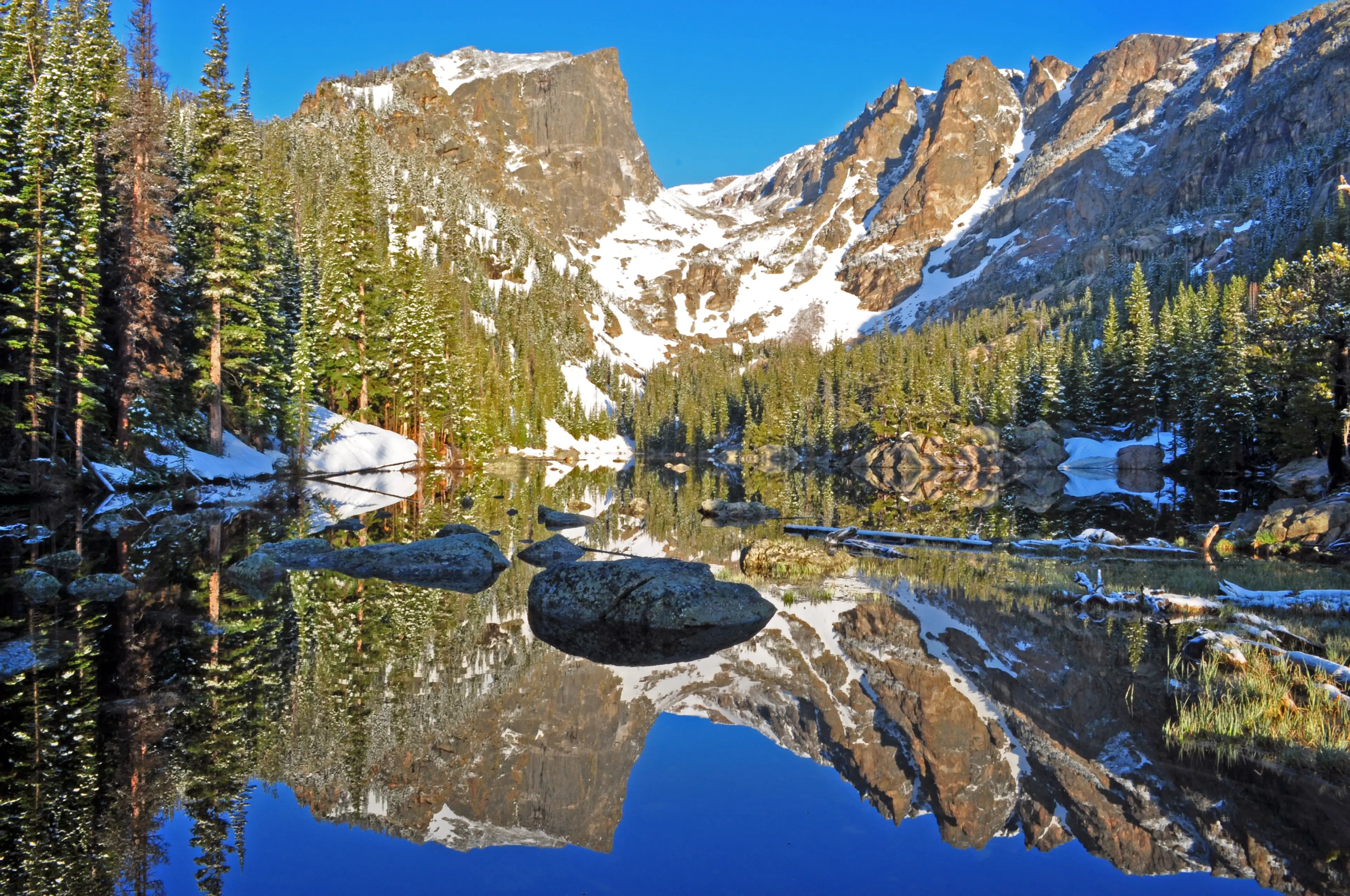
Great Smoky Mountains National Park Hat Inspiration
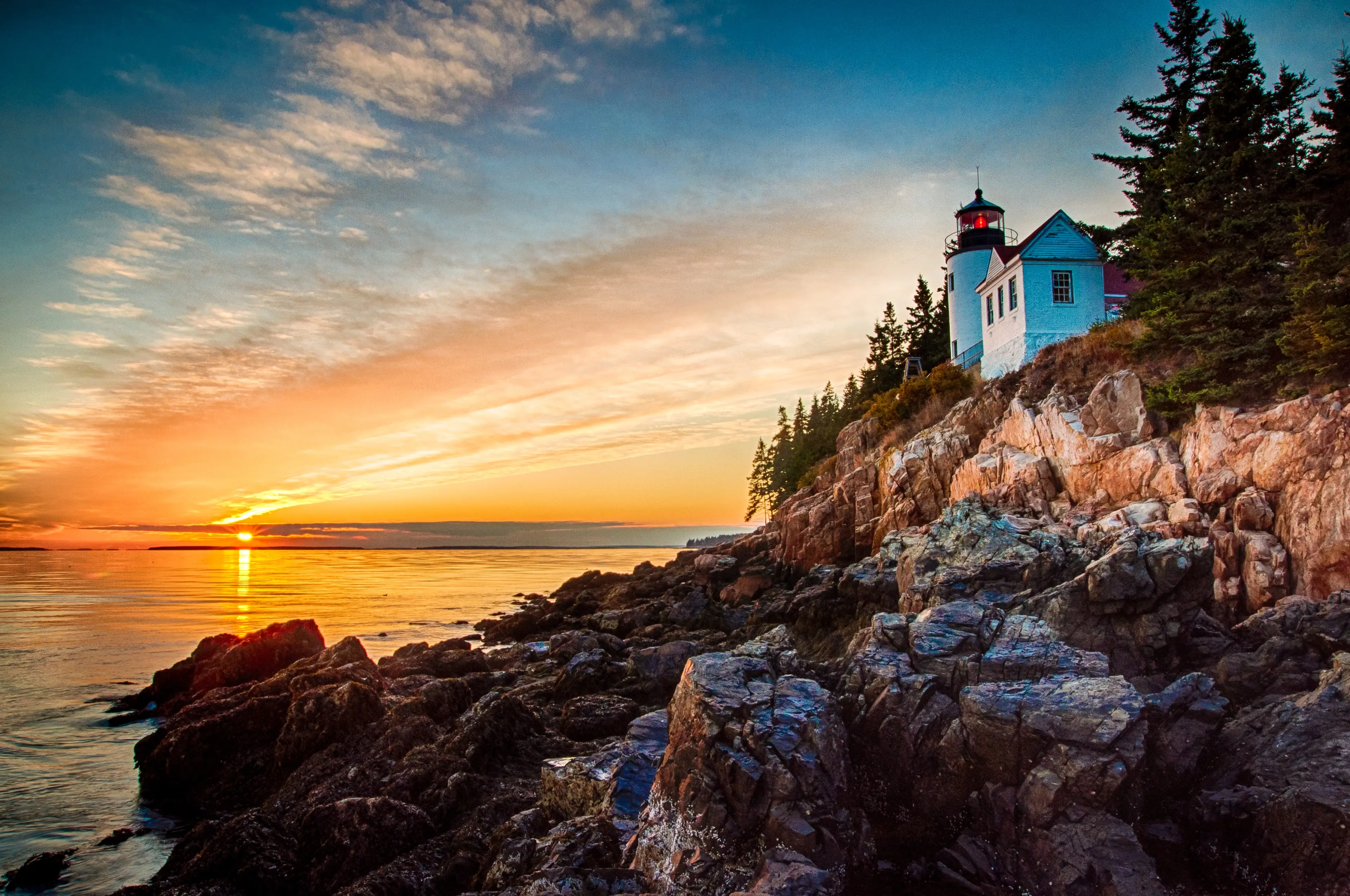
From Luftee Overlook the first rays of sunlight reach over the horizon casting a soft blue glow across the ridges of the Great Smoky Mountains while the valleys below still hold the last traces of mist with distant peaks rising through it, shifting from gray to blue as the sun climbs.
In the foreground the trees turn with the season putting on their display of warm tones of gold, orange, and red that stand out against the cool mountain air. The scene captures the subtle balance of light and shadow that defines the Smokies at daybreak.
This view is one of the park’s most recognizable, a place where visitors pause to see the mountains stretch endlessly toward the horizon. The changing atmosphere creates a sense of depth that moves with the light, revealing new details each minute. Fall brings its own distinct palette, blending the crisp colors of the forest with the soft hues of dawn.
Design Process
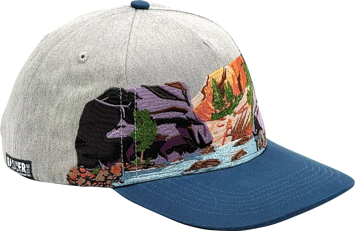
Creating these National Park hats with their panoramic embroidery is a detailed process going beyond simply buying and reselling bulk designs.
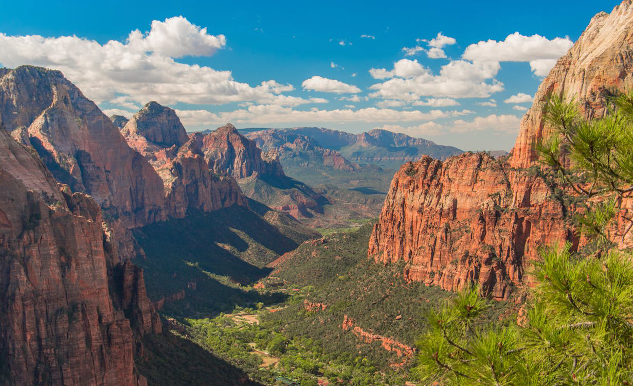
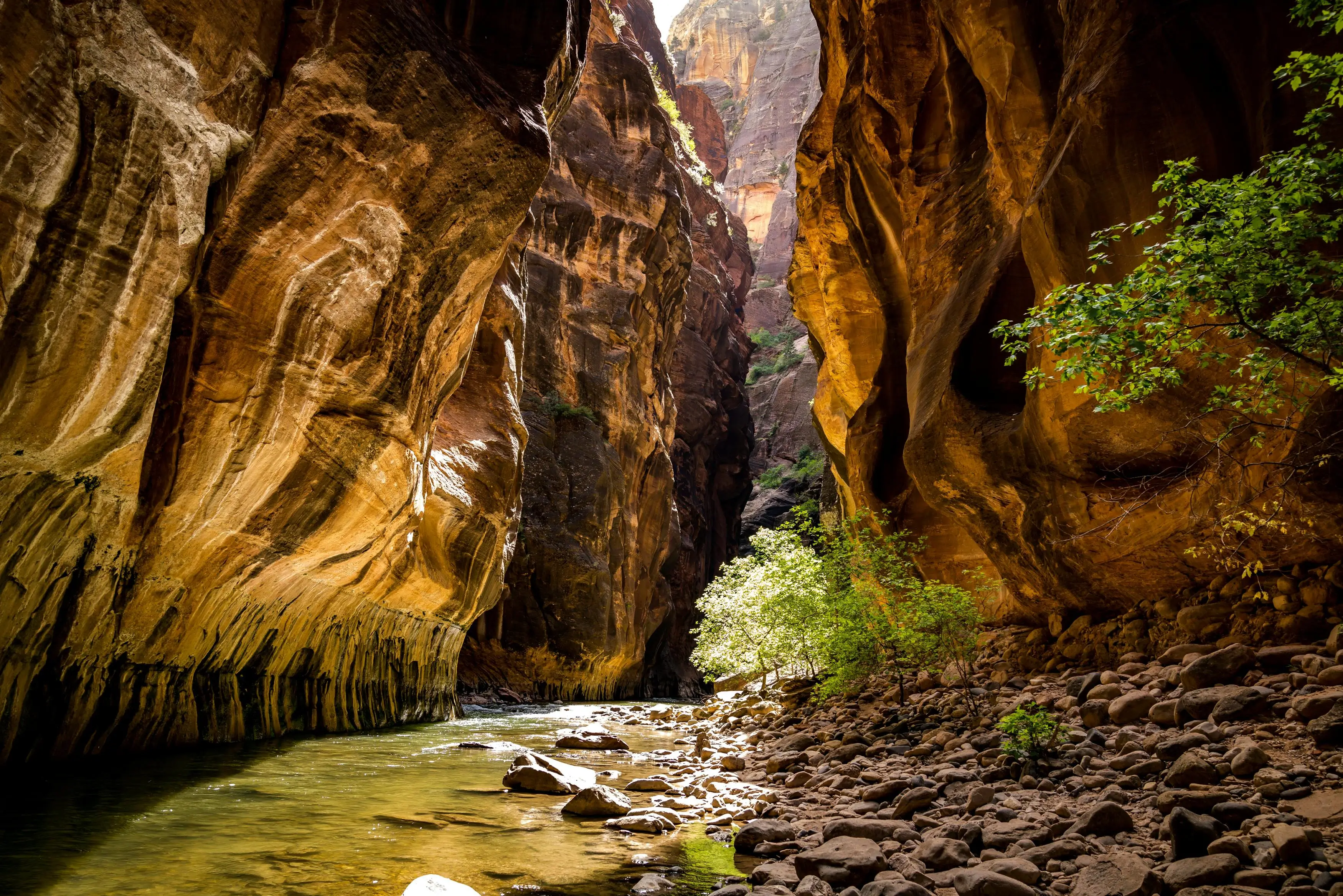
The first step is a deep dive into what makes each park unique. From the Bison of Yellowstone and the Roseated Spoonbills of the Everglades to the panoramic views of Angels Landing in Zion, our goal is to highlight the beauty of each park. We try to find a specific viewpoint in the park to show off and what we need to do to capture the feeling of being there. While sometimes we ad-lib a bit of the design to include other elements to capture the feeling of the park as a whole, we try hard to find an actual place in the park you can visit even giving you an exact Google maps QR code with every hat.
Then we get to designing! Embroidery is naturally limited in colors and we use a 15 color (the most you'll find) edgeless embroidery process which takes upwards of 90 minutes and over 60,000 stitches per hat, but allows us to show off every detail from that epic mountain range to the colorful flowers in your favorite park.
Finally the design get digitized for embroidery, a sample is made for any final tweaks, and we go to production getting these fantastic hats on your heads.
And 100% of our profits are donated right back to our National Parks .
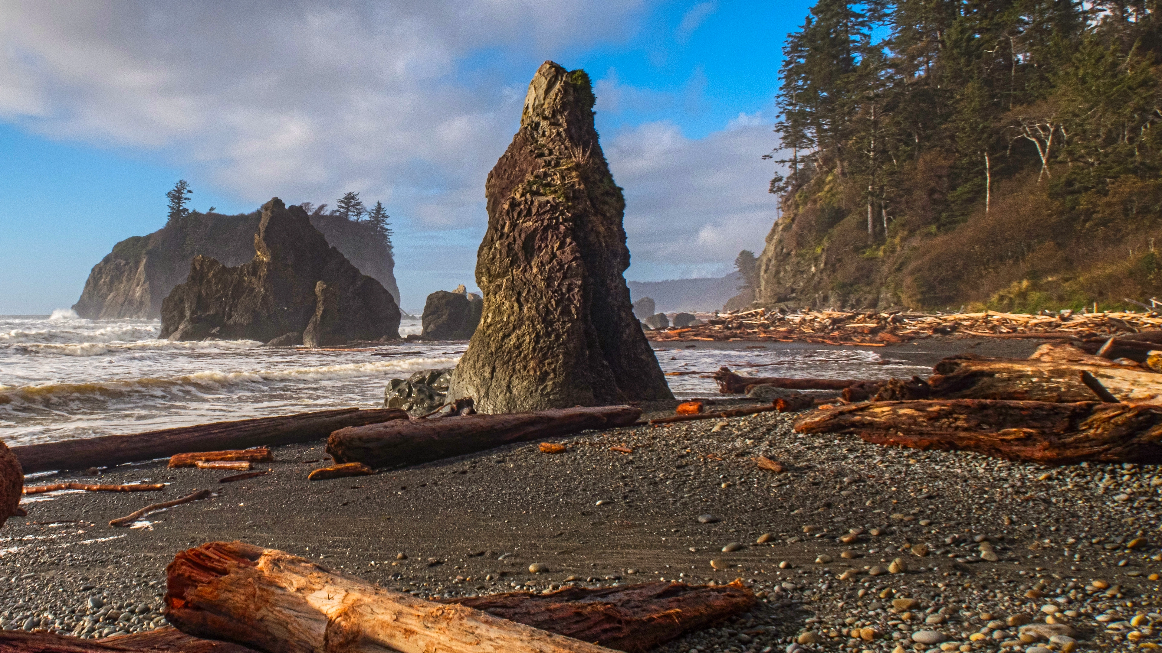
Visit the Inspiration
Luftee Overlook sits along Newfound Gap Road near the Tennessee North Carolina border and is about a half mile south of Newfound Gap providing one of the best views in Great Smoky Mountains National Park.
From there you can look out across a series of ridges that fade into the distance and see why the Smokies got their name.
To reach Luftee Overlook from Gatlinburg take Newfound Gap Road (U.S. 441) south through the park. The drive climbs steadily through forested slopes for about 15 miles before reaching the overlook on the east side of the road. From Cherokee head north on the same route and travel roughly 12 miles up the mountain.
The parking area at Luftee Overlook is small but offers a short paved path that leads to the viewing area and is accessible year round though conditions can change quickly especially in winter.
Great Smoky Mountains National Park
Great Smoky Mountains National Park straddles the border between North Carolina and Tennessee and encompasses over 522,000 acres of protected land along the crest of the Great Smoky Mountains. Authorizing the park in 1934 was made possible by Congress after years of fundraising and land acquisition through donations from private citizens and matching funds from the Rockefeller Foundation. Unlike most national parks in the western United States, the Smokies were established on land that had been extensively settled and logged, requiring the purchase of thousands of individual tracts and the relocation of entire communities.
Today the park preserves one of the largest blocks of deciduous forest in eastern North America and protects the cultural heritage of the people who once called these mountains home.
Receiving more than 13 million visitors annually the Smokies is the most visited national park in the United States. The park's accessibility contributes significantly to its popularity as it lies within a day's drive of major population centers in the Southeast and is crossed by a single main road connecting Gatlinburg, Tennessee with Cherokee, North Carolina. Newfound Gap Road provides access to many overlooks, trailheads and historic sites while scenic side roads like Cades Cove Loop and Roaring Fork Motor Nature Trail allow visitors to experience different areas of the park.
Over 800 miles of trails provide access to the park's backcountry including 71 miles of the Appalachian Trail which follows the state line ridge, ranging from short accessible walks to historic buildings and waterfalls to multi day backpacking routes through remote wilderness areas. Camping is available at ten developed campgrounds that require advance reservations, while backcountry camping is permitted at designated sites and shelters with a free permit. The park also maintains over 90 historic structures including log cabins, barns, churches and grist mills that interpret the lives of mountain families and communities prior to the park's establishment.
The name "Smoky" comes from the natural fog that frequently envelops the mountains when trees release water vapor and volatile organic compounds into the atmosphere. This mist appears blue when viewed from a distance due to the way light scatters through the moist air and gives the mountains their characteristic appearance. The Cherokee people who inhabited this region for thousands of years called the mountains "Shaconage" or "place of blue smoke" in recognition of this phenomenon.
Most Popular Hikes
Alum Cave Trail
This trail leads to a massive concave bluff at 2.2 miles and can be extended to Mount LeConte summit for experienced hikers. Notable landmarks include Arch Rock at 1.3 miles and Inspiration Point at 2 miles with panoramic mountain views . The trail is one of the most popular in the park due to its blend of geological features and scenic beauty .
Charlies Bunion via Appalachian Trail
This trail starts from Newfound Gap and follows the Appalachian Trail to an exposed rock outcrop offering sweeping Smoky Mountain views . The hike traverses high elevation ridgelines with thinner crowds than other popular trails. The route passes Icewater Spring shelter before reaching the dramatic bunion viewpoint .
Rainbow Falls Trail
This trail climbs steadily to the park's tallest single drop waterfall at 80 feet, named for rainbows created by mist on sunny days . The trail follows LeConte Creek through lush forest and can be extended another 4 miles to Mount LeConte summit . Winter visits offer impressive ice formations around the falls.
Kuwohi Observation Tower Trail
This paved trail leads to the highest point in Tennessee at 6,643 feet with a distinctive observation tower offering 360 degree views . The steep half mile path climbs through spruce fir forest to panoramic vistas extending up to 100 miles on clear days. Temperatures are typically cooler at this elevation so bringing layers is recommended .
Andrews Bald via Forney Ridge Trail
This trail starts from the Clingmans Dome parking area and leads to the highest grassy bald in the park with open mountain views . The relatively gentle terrain makes it accessible for families while still offering rewarding high elevation scenery. The bald features wildflowers in warmer months and provides an excellent picnic spot .
Scenic Drives
Cades Cove Loop Road follows an 11 mile one way route through a broad valley surrounded by mountains where visitors can see historic buildings, a working grist mill and abundant wildlife. White tailed deer frequently graze in the open fields while black bears may be spotted along the forest edges particularly during early morning and evening hours. The route includes parking areas at several historic structures including three churches, a working cable mill, and numerous log cabins and barns that interpret 19th century mountain settlement.
Roaring Fork Motor Nature Trail provides a six mile one way drive through old growth forest accessed from Gatlinburg's Historic Nature Trail Road and follows Roaring Fork creek past several preserved log cabins and historic buildings including the Alfred Reagan Place and the Ephraim Bales Place, both of which feature period farm structures and demonstrate early Appalachian living conditions. Rainbow Falls Trailhead and Grotto Falls Trailhead provide access to two of the park's most popular waterfall hikes directly from the motor trail.
Newfound Gap Road runs approximately 30 miles from Sugarlands Visitor Center near Gatlinburg over the mountains to Cherokee, North Carolina and serves as the primary route through the heart of the park. The road climbs from 1,500 feet elevation to 5,046 feet at Newfound Gap before descending into the Oconaluftee Valley providing access to numerous overlooks, picnic areas and trailheads along its length. Major points of interest include the Chimneys Picnic Area, Morton Overlook for sunrise views, the Newfound Gap overlook at the state line, and the turnoff to Clingmans Dome Road which leads seven miles to the highest point in the park.
Historic Sites
More than 90 historic buildings remain in the park with Cades Cove featuring the greatest variety of churches, mills, barns and cabins dating back to the early 1800s. The preserved structures include three churches that served different denominations within the same community, demonstrating the important role of religion in mountain life. The Cable Mill area features a working grist mill that operates seasonally along with a collection of outbuildings that illustrate the self sufficient nature of Appalachian farmsteads.
Mountain Farm Museum at Oconaluftee displays structures from the late 1800s including a barn, spring house, apple house and working blacksmith shop. The buildings were relocated from various locations throughout the park and assembled to create a representative farmstead that interprets daily life for mountain families before the park's establishment. Seasonal demonstrations of traditional crafts and farming practices help visitors understand the skills and labor required to maintain these homesteads in isolated mountain communities.
Historic structures also appear along hiking trails and motor nature trails throughout the park, with notable concentrations along Roaring Fork Motor Nature Trail and in the Cataloochee Valley. These sites include log cabins, barns, cantilever barns unique to the region, and small cemeteries that mark former community centers. The National Park Service maintains these structures to prevent further deterioration while preserving their historic character, though interiors are typically not furnished to reduce maintenance needs and security concerns.
Wildlife & Nature
The park supports a population almost 2,000 black bears with almost two bears per square mile, making it one of the largest protected bear populations in the eastern United States. Most active during early morning and evening hours, bears may be encountered anywhere in the park though Cades Cove is a particularly common viewing location due to its open fields and forest edges.
Elk were successfully reintroduced to the park beginning in 2001 after being entirely killed off in the region in the late 1800s, with the current population estimated at around 200 individuals. The reintroduction fulfilled the National Park Service mission to restore native species to their historic ranges where suitable habitat remains. Cataloochee Valley and areas near Cherokee provide the most reliable elk viewing opportunities, particularly during autumn when males bugle to attract mates and establish dominance.
The park hosts 19 species of fireflies including the synchronous firefly that creates coordinated light displays during a brief period in late May and early June. The park also contains 31 species of salamanders, more than any other location in North America earning it the designation as the Salamander Capital of the World. Over 240 species of birds have been documented in the park along with 66 species of mammals and 67 species of native fish, reflecting the exceptional biodiversity supported by varied elevations, abundant rainfall and protected forest habitats.