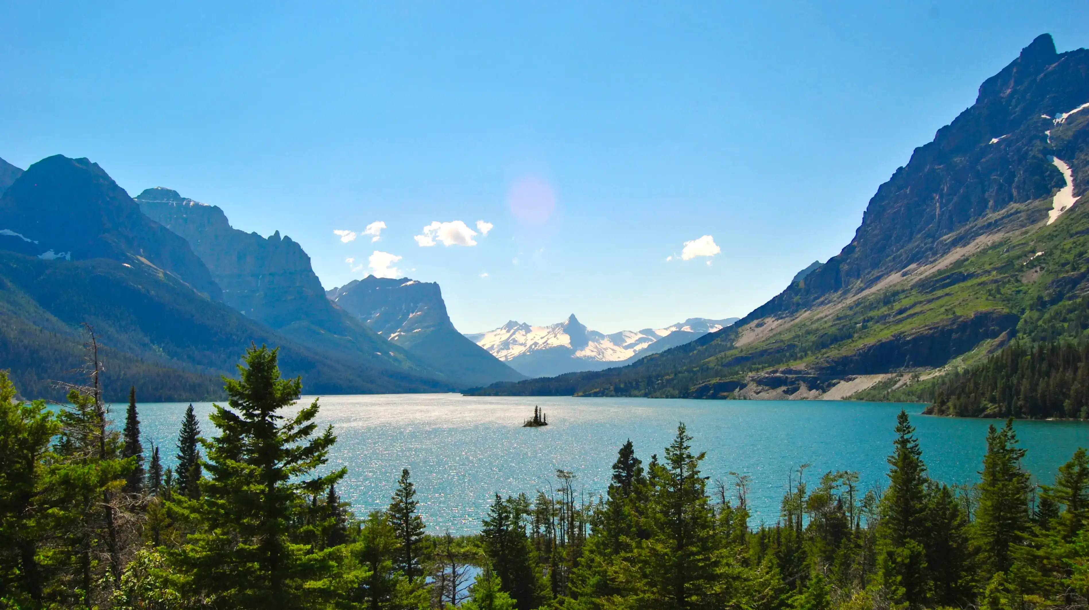
Wild Goose Island, Glacier National Park
A small island rises from the cold surface of Saint Mary Lake, framed by the peaks of the Lewis Range.
- Visit July through September when Going-to-the-Sun Road is fully open, trails are mostly clear of snow, and wildflowers are in bloom.
- Shoot at sunrise or sunset when softer light hits the lake and island, and crowds are thinner, making for a calmer experience and better photos.
- Take in the overlook view of one of the most recognizable scenes in all of Glacier: the tiny island rises only 14 feet from the surface of Saint Mary Lake, ringed by the Lewis Range.
- Spot the surrounding peaks including Red Eagle, Mahtotopa, Little Chief, Dusty Star, and Citadel, most of which top out above 8,000 feet.
- Get there via Going-to-the-Sun Road along the eastern end of the route, roughly 12 miles from the town of Saint Mary. Parking and an accessible viewing area make it a convenient stop along the road.
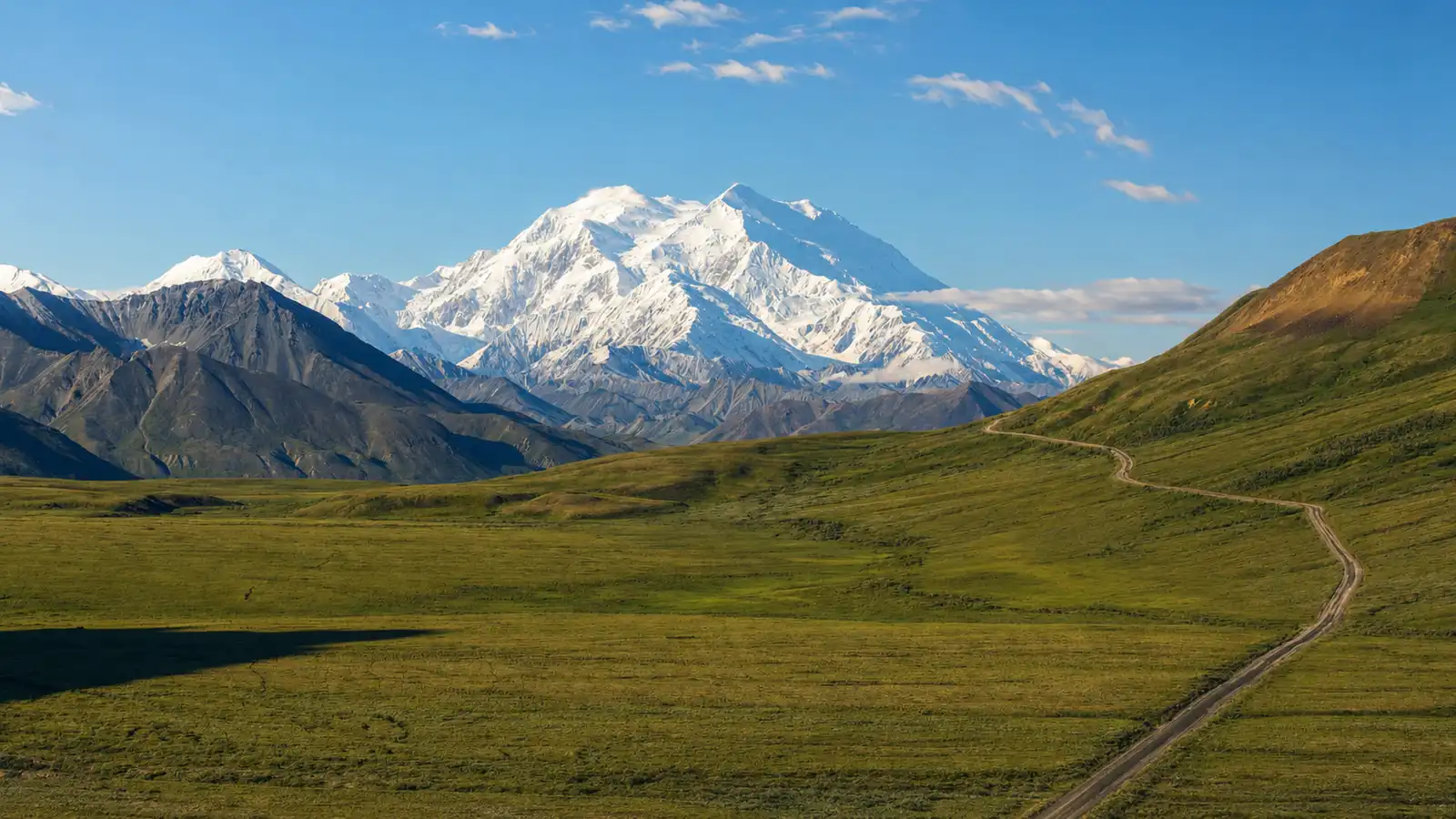
From the overlook along Going to the Sun Road, the scene resolves in layers. Saint Mary Lake sits on the east side of Glacier National Park, with Going to the Sun Road running parallel to its north shore. This is where the Great Plains end and the Rocky Mountains begin, in an abrupt 5,000 foot elevation change.
Surrounded by those peaks, the tiny island rises only 14 feet from the surface of St. Mary Lake. A handful of conifers grow from its rocky surface, and from the overlook their scale reads clearly against the water. The contrast is part of what makes this view so easy to read: small island, vast lake, immense mountains behind.
The lake stretches nearly 10 miles long and reaches about 300 feet deep, and the water stays cold even in midsummer. On a clear morning the surface reflects the grey green ridgelines above it. When wind moves across from the west, the reflection breaks apart and the water shifts between deep blue and slate.
The peaks that border Saint Mary Lake rise to elevations over 8,000 feet, including Red Eagle, Mahtotopa, Little Chief, Dusty Star, and Citadel. Their upper faces are bare quartzite and argillite, striated in bands of rust, green, and cream. Rivers of ice sculpted these mountains over millennia, leaving behind U shaped valleys and the jagged peaks visible today.
The surrounding terrain supports Glacier's signature beargrass alongside wildflowers like Indian paintbrush, glacier lily, and fireweed. Grizzly bears move through the valley regularly, and osprey hunt the cold water below. The wind through here carries the smell of conifer and cold stone, and it picks up quickly in the afternoon.
Visiting Wild Goose Island
Getting there
The Wild Goose Island viewpoint sits along the eastern end of Going to the Sun Road near the St. Mary Entrance, tracing Saint Mary Lake. A parking area and accessible viewing platform make it a straightforward stop right off the road with no hiking required. Going to the Sun Road is typically closed in winter due to snow and often reopens to this section by mid June, so check road conditions before you go.
When to go
The overlook rewards visitors most during sunrise and sunset when the light is softer and the crowds are thinner. Sunrise is the stronger play here. The island rises just 14 feet above the lake, framed by rugged peaks and reflective water, and the early light works particularly well for photography. June through September offers the best road access and warmest days, with September bringing fewer visitors and early fall color.
What to look for
The broad U shaped valley holding Saint Mary Lake is direct evidence of ancient glaciation. Over the past two million years large ice sheets advanced and retreated, filling lower valleys and sculpting the jagged peaks and wide valley floors visible today. Look closely at the island itself: it measures roughly half an acre and sits just 14 feet above the surface with only a few trees managing to hold on in the exposed conditions, while birds regularly use it as a refuge. Finally keep an eye on the slopes above the lake. The Saint Mary area supports elk, mule deer and both grizzly and black bears are occasionally spotted in the open terrain near the overlook, especially in the early morning hours.
Insider Tips
Skip the main overlook: walk east toward Rising Sun
The designated Wild Goose Island Lookout pulls most of the foot traffic, but there is a quieter pullout located east of the main overlook along Going-to-the-Sun Road, just before you reach Rising Sun Campground. From here you get a slightly different angle on Saint Mary Lake with the island still in frame but without the shoulder-to-shoulder tripod situation. Early morning light hits the water from the east, so arriving before 6 AM gives you the clearest reflection and the fewest cars in the lot.
What to wear: layers and wind protection
Saint Mary Lake sits at 4,484 feet in a valley that funnels strong winds off the Lewis Range, and temperatures can drop quickly even in summer. Pack a packable wind shell for the exposed overlook area and wear trail runners or light hiking shoes with good grip if you plan to scramble up the boulder slabs at the pullout for a higher vantage point. A hat with a brim also pulls double duty here: sun off the water is intense, and a gust can take a cap right off your head.
Fuel up at Park Cafe in St. Mary
The town of St. Mary sits right at the east entrance to Going-to-the-Sun Road, making it a natural stop before you drive in. Park Cafe has been a fixture on this stretch of Highway 89 for decades, known for homemade pies, huckleberry milkshakes, and a straightforward Montana menu. Get there when it opens if you want a slice of huckleberry or razzleberry before the day's supply runs out.
Nearby Hikes
Trails worth your time when you're in the area.
St. Mary and Virginia Falls
This out and back trail from the St. Mary Falls Trailhead follows Virginia Creek through a forest burned in the 2015 Reynolds Creek Fire, passing the tiered cascade of St. Mary Falls before climbing another 0.6 miles to Virginia Falls. The two waterfalls sit at the head of a glacially carved valley and draw more visitors than almost any other trail on the east side of the park.
View on nps.govBaring, St. Mary, and Virginia Falls via Piegan Pass Trail
Starting from the Sun Point parking area, this route follows the south shore of Saint Mary Lake along the Piegan Pass and St. Mary Lake Trails, passing four waterfalls: Baring Falls, St. Mary Falls, Lower Virginia Falls, and Upper Virginia Falls. The lake views along the first stretch of trail are some of the best at ground level anywhere on Going-to-the-Sun Road.
View on nps.govSun Point Nature Trail
A short walk from the Sun Point parking area drops down to the rocky shoreline of Saint Mary Lake, with wide views west toward the Lewis Range and back toward Wild Goose Island. The trail sits on the site of the former Going-to-the-Sun Chalets, built between 1912 and 1915, and connects to the longer Piegan Pass Trail for those who want to continue on.
View on nps.govOtokomi Lake via Rose Creek Trail
Beginning behind the Rising Sun Motor Inn, this trail climbs steadily along Rose Creek through burned forest and past a series of waterfalls before arriving at Otokomi Lake, tucked into a red argillite cirque called Rose Basin. The iron-rich rock surrounding the lake formed in the Precambrian era when sediment accumulated in the shallow Belt Sea, giving the basin its distinctive color. Foot traffic is light compared to other trails in the St. Mary area.
View on nps.govPiegan Pass
From the Siyeh Bend trailhead on Going-to-the-Sun Road, this trail climbs through spruce-fir forest and open alpine slopes to Piegan Pass at 7,570 feet, where the Continental Divide peaks come into full view. Mount Siyeh, Cataract Mountain, and the Garden Wall frame the pass on multiple sides, and on a clear day the view north reaches all the way to the Many Glacier area.
View on nps.govGlacier National Park Hat
100% of the profit from every hat goes straight to the National Parks. Not a round-up. Not a percentage. The whole margin.
Shop this hat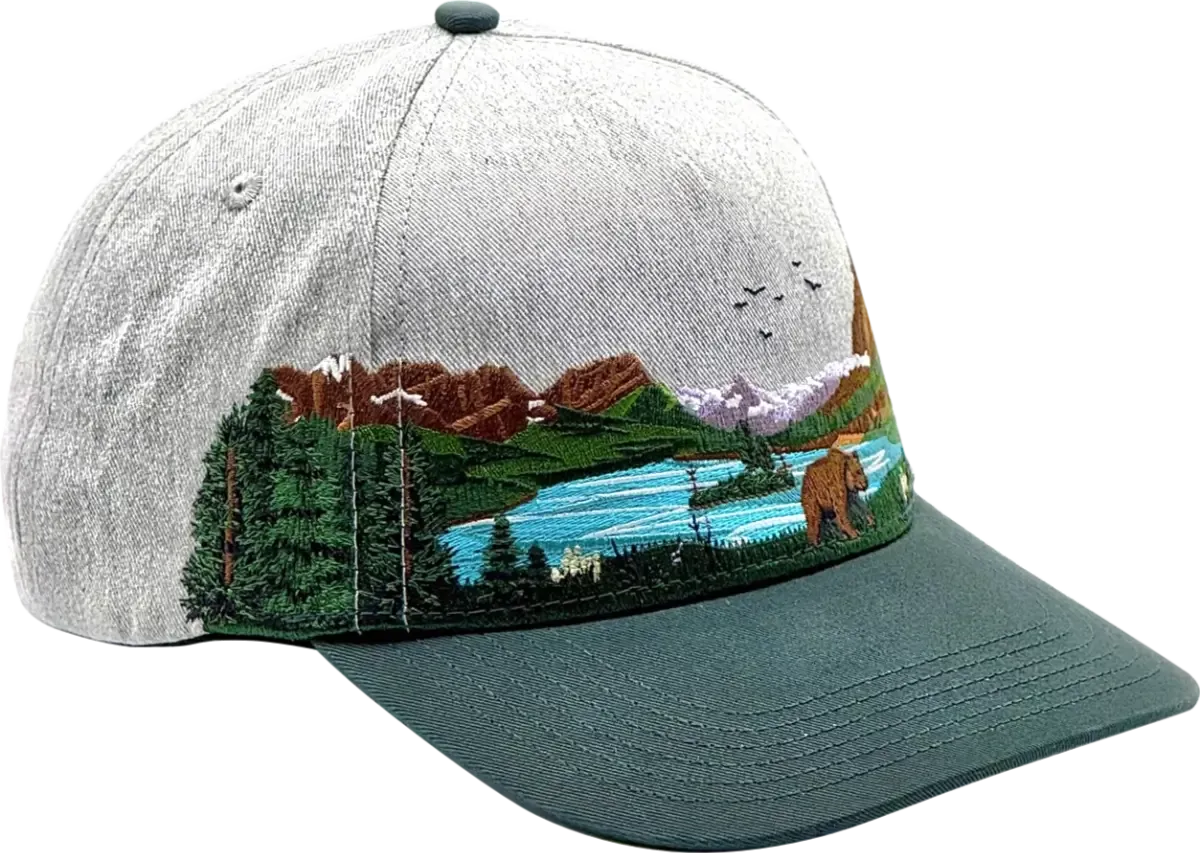
Protecting Glacier
Glacier National Park sits within one of the largest nearly intact temperate ecosystems on Earth, and the waters around Wild Goose Island reflect that fragility. The park is named for its glaciers, but those glaciers are shrinking and the effects move through every layer of the ecosystem. Two species of stonefly found nowhere else in the world have been petitioned for Endangered Species Act protection, as their populations are extremely vulnerable to glacier and snow loss. Three species within the park are already federally listed as threatened: grizzly bear, lynx, and bull trout. Two stonefly species in and near Glacier, the western glacier stonefly and meltwater lednian stonefly, are also threatened under the ESA.
Places like Wild Goose Island hold that larger story together. Glacier National Park is a vital component of one of the largest nearly intact temperate-zone ecosystems on Earth and protecting it keeps those connections intact for the people and species that depend on them. Park managers face growing challenges as climate change interacts with land use change, increases in visitation, pollution, and nonnative species. The decisions made now determine what future generations actually get to see and experience here.
At Rainier Hat Co., we don't just sell hats. Every purchase functions as a direct funding vehicle for the parks, with 100% of profits donated to the National Parks. The Glacier National Park Hat is a way to carry that commitment with you and put real resources toward the landscapes that need them.